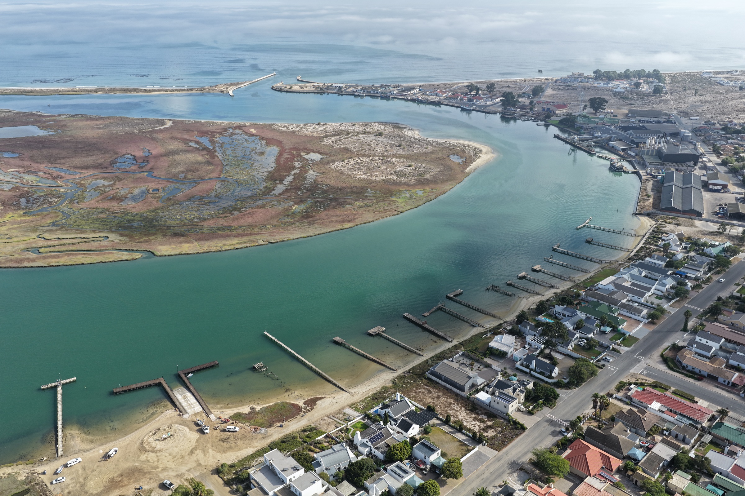
Aerial view across the Berg River estuary, Velddrif and the Atlantic Ocean.

Location

One Remarkable Region

Weskus extends from the northern boundary of the City of Cape Town to the Northern Cape border, covering approximately 31,100 km² - about the size of Belgium.

Five local municipalities

Tourism and Natural Heritage

The natural environment is one of Weskus' greatest assets. Visitors are drawn by the turquoise waters of Langebaan Lagoon, annual wildflower displays, rugged Atlantic beaches and fishing villages, the Cederberg mountains and wilderness, marine life, seafood cuisine, and cultural and heritage attractions.

Seasonal flower tourism, coastal recreation, heritage experiences and nature-based activities make tourism an increasingly important contributor to the regional economy.

  • Matzikama
  • Cederberg
  • Bergrivier
  • Saldanha Bay
  • Swartland

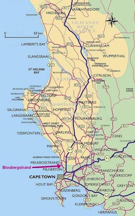
Location map

From Cape Town to the Northern Cape

Explore the West Coast District and the five local municipalities that make up Weskus.

Open interactive map
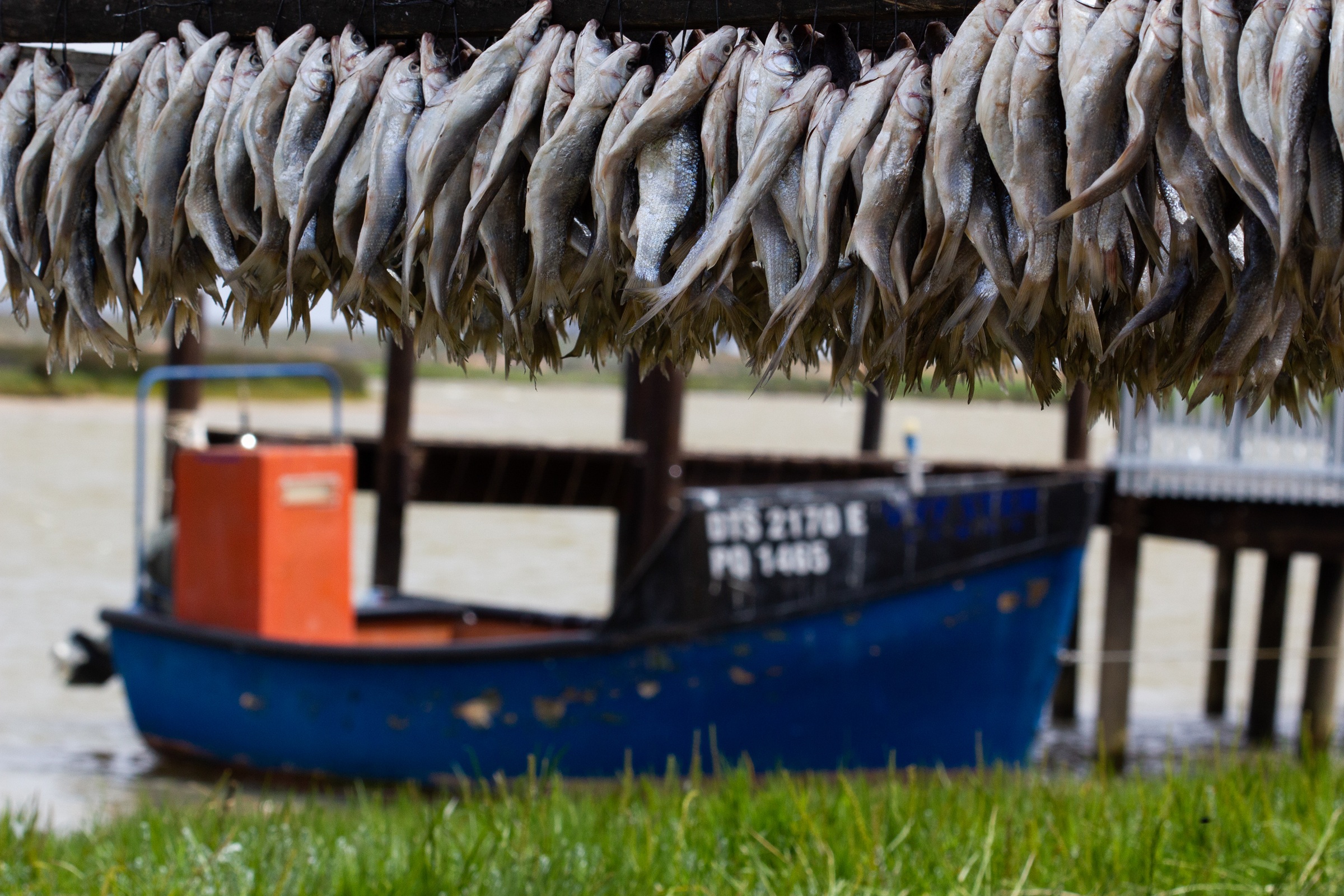
Rows of traditional dried fish above a small fishing boat in Velddrif.

A culture shaped by land and sea

A Working Heritage

Generations of families built their livelihoods around fishing, lobster harvesting, historical whaling, boat building, fish processing and maritime trade. Communities including Paternoster, St Helena Bay, Velddrif and Lambert's Bay developed distinctive traditions, dialects and lifestyles centred on the rhythms of the sea.

Away from the coast, fertile plains transformed Weskus into one of South Africa's most productive agricultural regions. Today the area produces wheat, rooibos tea, wine and table grapes, citrus, potatoes, vegetables, olives and livestock. Agriculture remains an economic backbone from Malmesbury and Moorreesburg to Vredendal and Clanwilliam.

Next step

Find Your Place on the Coast

Discover a region where distinctive landscapes and connected communities stretch from Cape Town to the Northern Cape.